DynaCrop
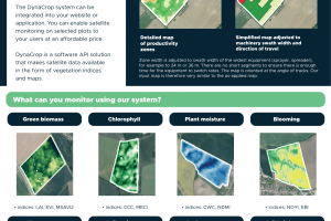
World from Space, s.r.o. offers the DynaCrop solution, which makes satellite data available for smart and precision agriculture in the form of vegetation indices and enables the creation of maps for variable applications.
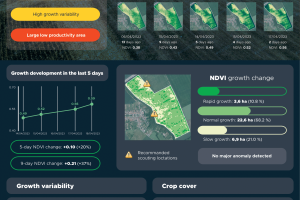
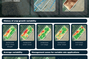
With DynaCrop, it is possible to monitor crop growth, optimize the timing of field operations or prepare maps for variable fertilizer applications and variable seeding. The system can also be used to prepare maps for zone-based soil sampling.
DynaCrop can be flexibly integrated via API into your web application. Enabling satellite monitoring on selected plots for your users.


